I kayak from Balnakeil whenever I need a North Coast fix: the light is raw, the beaches are wide, and the shallow channels that thread the sands can make for quietly joyful paddles — if you treat them with respect. Below I share the launch points I use, the hidden hazards I watch for, and the tide checks and planning steps that keep my outings safe. This is practical, locally informed advice from someone who spends a lot of time on these beaches, not a substitute for formal training or local authority notices.
Where I launch from Balnakeil (my favourites)
There are three places I use most often to get a kayak onto the water around Balnakeil. Each suits different conditions and ambitions.
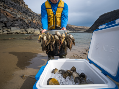
Main Balnakeil car park / church slip — The public car park near Balnakeil Church gives direct access to the broad sands. I use this when wind is light and I want a predictable launch. The flat sand means you can walk a bit further to find deeper water as tide rises.Northern spit (near the dunes) — If I’m aiming to follow the shallow channels northwards along the beach edge, I’ll carry the kayak closer to the dune edge and launch where the channel is already cut. This saves a long carry at high tide and keeps you out of breaking surf when swell arrives.Near the river mouth / small burn — When a small burn runs across the sands (usually at mid-tide) it forms a faster channel that can be used to reach deeper water quickly. I only use this when current and tide direction are favourable, and I keep the group size small.Which shallow channels are safe to use (and when)
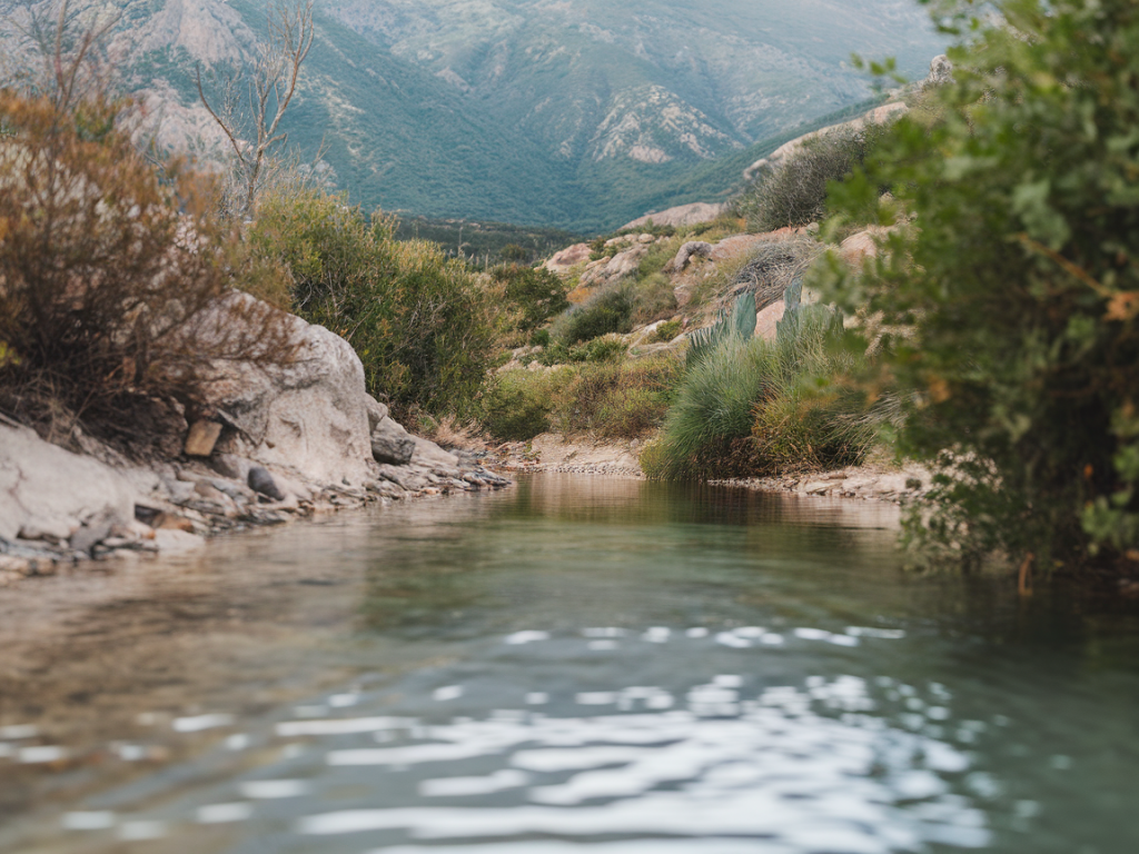
The channels that braid the sands off Balnakeil are tidal features — some are deep enough for a sit-on-top at mid to high tide, while others become perilous streams at ebb. Here’s how I decide whether to use one:
High to mid rising tide — Best time for novices. Channels are fuller, currents are gentler on the approach to the open sea, and you avoid being stranded on sandbars. I aim to launch on a rising tide if I’m unsure about depth.Strong onshore wind — Even a shallow channel that looks calm can develop chop when wind funnels along the beach. If the onshore wind is more than 15–20 knots I avoid exposed channels and stick close to the leeward side.Check for flow speed — Some narrow channels create surprisingly strong flow at mid-ebb. If water is running fast past your ankles on foot, expect stronger currents in a kayak. I step across and time my crossing to feel the speed before committing.Hidden hazards I watch for
Shallow water can lull you into a false sense of security. These are the things that have surprised me and the simple checks I do to avoid them.
Changing sandbars — The seabed near Balnakeil moves. A channel that was deep two days ago might be shallow today. I scout on foot at low tide if I’m unsure and keep an escape plan to walk back to shore.Soft sand and quicksand pockets — Careful when unloading and walking; some patches are soft enough to trap gear and boots. I carry a drybag on my shoulder and don’t leave valuables directly on the dunes.Hidden rocks and cobbles — Small reefs or cobble patches can lurk under shallow water near headlands. I avoid hugging rock fringes unless I can see the bottom clearly and know what’s there.Tidal race near headlands — Where channels bottle up between headlands (toward Faraid Head direction), currents can accelerate. I keep clear of these channels near slack water unless I’m confident in my edging and bracing.Swell and backwash — Even in shallow channels, long-period swell can create confused water and strong shoreward backwash. If the surf looks messy, I postpone the paddle.Tide checks, charts and apps I use
Tides are king here. I always consult at least two sources before I head out.
UKHO Admiralty or local RNLI tide tables — My first reference for accurate high/low and predicted heights.Tides4Fishing / Magicseaweed / XTide — Handy for quick checks on my phone and for seeing tidal graphs. I cross-check their predictions with the Admiralty when in doubt.OS maps and local tidal atlas — I look at contour lines and the shape of the sandbank on an OS map to predict where channels will persist. If you have a paper Navionics or Admiralty chart for the area that helps too.Weather apps (Windy, Met Office) — Tidal height is only half the story — wind direction and gusts make or break a paddle. Windy’s surface gust forecast is my go-to.Practical planning and safety kit
I treat every Balnakeil paddle like a day in the mountains: plan, tell someone, and carry the right kit. Here’s my core checklist.
| Kit | Why I bring it |
| Buoyancy aid (PFD) | Non-negotiable: keeps you afloat if you flip in cold water. |
| Whistle + torch | Signalling for the RNLI or other boaters, especially in poor light. |
| Mobile phone in drybag + VHF | Phone for local calls; VHF if paddling further along the coast or in choppier conditions. |
| Spare paddle and pump | Small failures happen. A spare paddle (even a lightweight carbon blade) makes turning back easier. |
| Thermal layers and hat | Water is cold year-round; hypothermia risk is real even in summer. |
| Map, compass and mini first aid | Navigation and basic trauma care if you can’t call for help. |
On-water checks and simple decision rules
Once on the water I follow three simple rules:
If you can’t see the bottom — treat it like open water: expect currents, dress for immersion and stay close to shore.If the channel runs fast — avoid crossing it at its narrowest point; go upstream to a wider, slower section.If conditions change — head to the nearest safe landing. Sand spits often provide sheltered landings; don’t try to outrun a sudden gale.When I’m teaching beginners I emphasise conservative decisions: shorter outings on rising tide, staying within sight of the car park, and practising re-entry drills before you leave the shore. Balnakeil’s shallow channels offer magical, low-key paddles — they reward patience and respect for the tide.