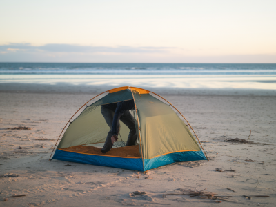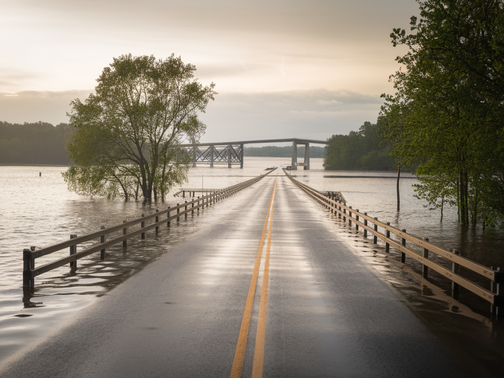
I’ve lost count of the times I’ve set out for Sango Sands only to find the little stone causeway under a ribbon of sea. Tides here are surprisingly fast; a causeway that looks passable at low tide can be flooded again before you’ve had a chance to explore the north end properly. If you meet a flooded causeway, don’t panic — there are several safe, scenic alternatives that still let you make the most of the day. Below I share the routes I use and recommend, how to plan around tides, transport and parking tips, plus practical safety and kit advice so you won’t be caught out.
Why the causeway floods and how to plan ahead
The Sango Sands causeway sits at the mouth of a small bay and is exposed to strong tidal swings and wind-driven surge. The key thing to remember is that tide times change daily and local wind can raise water levels quickly. I always check a tide table the evening before and again in the morning. Two reliable sources I use are the UK Hydrographic Office Admiralty Tide Tables and the MagicSeaweed tide info for quick on-the-go checks.
If in doubt, assume the causeway is impassable for an hour or two either side of high water. That buffer keeps you safe and avoids a rushed crossing.
Tide-safe alternative routes from the Sango Sands car park
All the routes below start from the Sango Sands car park or the immediate area so you can switch plans without needing to drive. I’ve listed approximate times and difficulty; these vary with weather and your walking speed.
- Coastal cliff walk to Sango Bay and Sango Head — 2–3 hours return, moderate: If the causeway is flooded, head east along the cliff path towards Sango Bay and Sango Head. The views of the headland and the series of little coves are spectacular. Parts of the path can be eroded and narrow in places, so take care near the cliff edge. It’s a great option for photographers — the light often softens here earlier and you’ll catch crashing waves from above.
- Beach loop via Balnakeil Bay direction — 3–4 hours return, easy-moderate: Walk west from the car park and follow the shoreline toward Balnakeil Bay. You won’t be able to cross the causeway, but the sandy stretches and dunes beyond are lovely. This route is particularly good for families and dog-walkers; bring windproof layers as the beach can be exposed.
- Headland scramble to Croick Point — 2 hours return, moderate-hard: For a wilder feel, take the rough path skirting rocky outcrops to Croick Point. Expect uneven ground and some low scrambling. This route gives access to rockpools and seabird colonies without needing the causeway.
- Forest and loch circuit (vehicle required for quick access) — half day, easy-moderate: If you have a car and want to change scenery, drive to Loch Eriboll or the small Forestry Commission tracks near Durness for a loch-side walk. These routes are sheltered from coastal winds and excellent if the weather turns wet or the tide is high all day.
Public transport and taxi options if you can’t cross on foot
If you planned to reach a destination in the causeway area by foot and it’s flooded, some options require a short drive or a local taxi. There’s limited bus service in the far north — the number 801/802 services run between Durness and nearby villages but check timetables in advance (they’re seasonal). Local drivers are used to tide issues and can advise on routes and times.
- Book a taxi from Durness: there are a few independent drivers who work across the area. They’ll know local tracks that are tide-safe.
- Car share with local walkers: I often meet other hikers in the car park — if you’re comfortable, swapping lifts to a nearby safe parking spot is common practice here.
Safety checklist before you go
I never set off without these few essentials. Keep them in a small daypack, and check them at the car park:
- Tide table and phone with downloaded offline map (I use OS Maps and always cache the area in case there’s no signal).
- Waterproof layers and warm mid-layer — the wind makes temperature drop fast on exposed coasts.
- Sturdy boots with good grip — rocks and pebbles can be slippery when wet.
- Headtorch — not just for night; fog or late delays can make it essential.
- Whistle and basic first aid kit.
- Camera with polariser if you’re photographing the sea — reduces glare and lifts contrast.
Timing tips for photographers and wildlife-watchers
I love shooting Sango Sands at low light and often time my walks around sunrise or sunset. If the causeway’s flooded at high water, you still get dramatic images from the cliffs and headlands. Early morning is best for seabirds (guillemots, razorbills and kittiwakes) and otters are most active at dawn and dusk along quieter coves.
Remember that some wildlife is sensitive to disturbance. Keep dogs on leads near nesting cliffs during spring and summer and avoid cliff-top flushes where birds are feeding young.
Simple map to visualize alternatives
| Starting point | Route | Approx time | Why I choose it |
|---|---|---|---|
| Sango Sands car park | Cliff walk to Sango Head | 2–3 hours | Best views & photography; tide-safe |
| Sango Sands car park | Beach loop toward Balnakeil | 3–4 hours | Sand dunes, family-friendly, sheltered in wind |
| Sango Sands car park | Croick Point scramble | 2 hours | Wild, rockpools, seabird watching |
| Sango Sands (by car) | Loch/forest circuit | Half day | Sheltered, change of scenery |
Local etiquette and environmental notes
These shores are fragile and many stretches are breeding grounds for birds or home to rare plants. I follow a simple rule: leave it as I found it. That means taking all litter home, avoiding trampling vegetation on the dunes, keeping dogs under control and following any seasonal notices from the local crofters or rangers. If you’re collecting seaweed or shellfish, check local foraging guidance and respect private crofting land.
If you want up-to-date advice I sometimes post short route updates and tide warnings on Hillside Durness Co (https://www.hillside-durness.co.uk). If you’re out and unsure, ask a local — crofters and fishermen often have the most reliable, live information about the tide and coastal conditions.
When to call it a day
I’ll only attempt to cross the causeway if I have a comfortable buffer to high water and feel confident about the return window. If the causeway remains flooded for much of the day, pick one of the alternative routes above and enjoy a different perspective — the Highlands are generous in variety, and I’ve made some of my best discoveries when plans changed.